Assisting communities grow their future

Discover our services
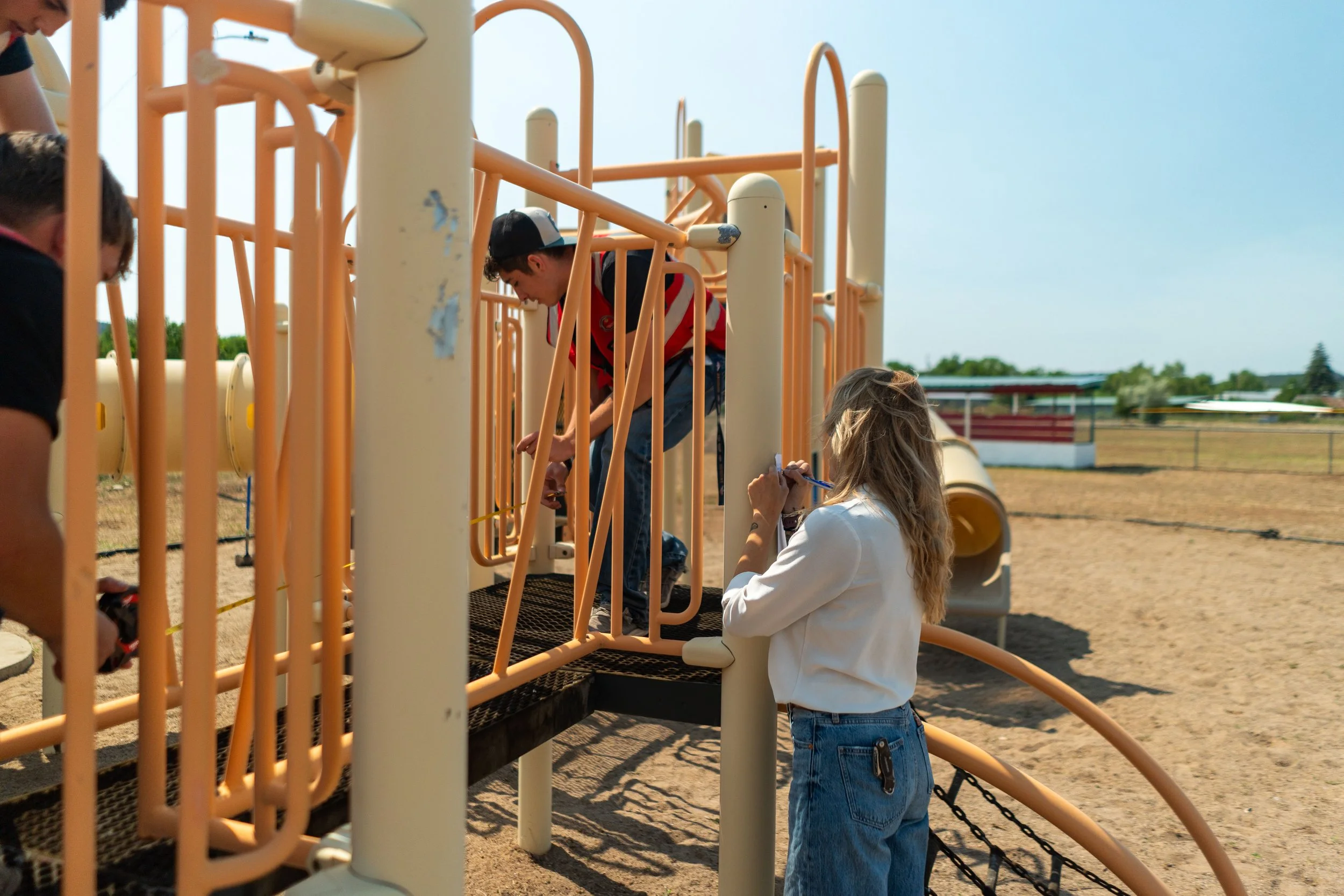
Community-Led Site Design
Site design and community-facilitated design services focused on creating thoughtful, functional, and locally grounded public spaces. This work integrates physical design with meaningful community engagement to ensure projects reflect the needs, values, and identity of the people who use them. Combining site planning, stakeholder collaboration, and data-informed analysis, projects are guided from early concept through implementation—balancing aesthetics, usability, and long-term resilience.
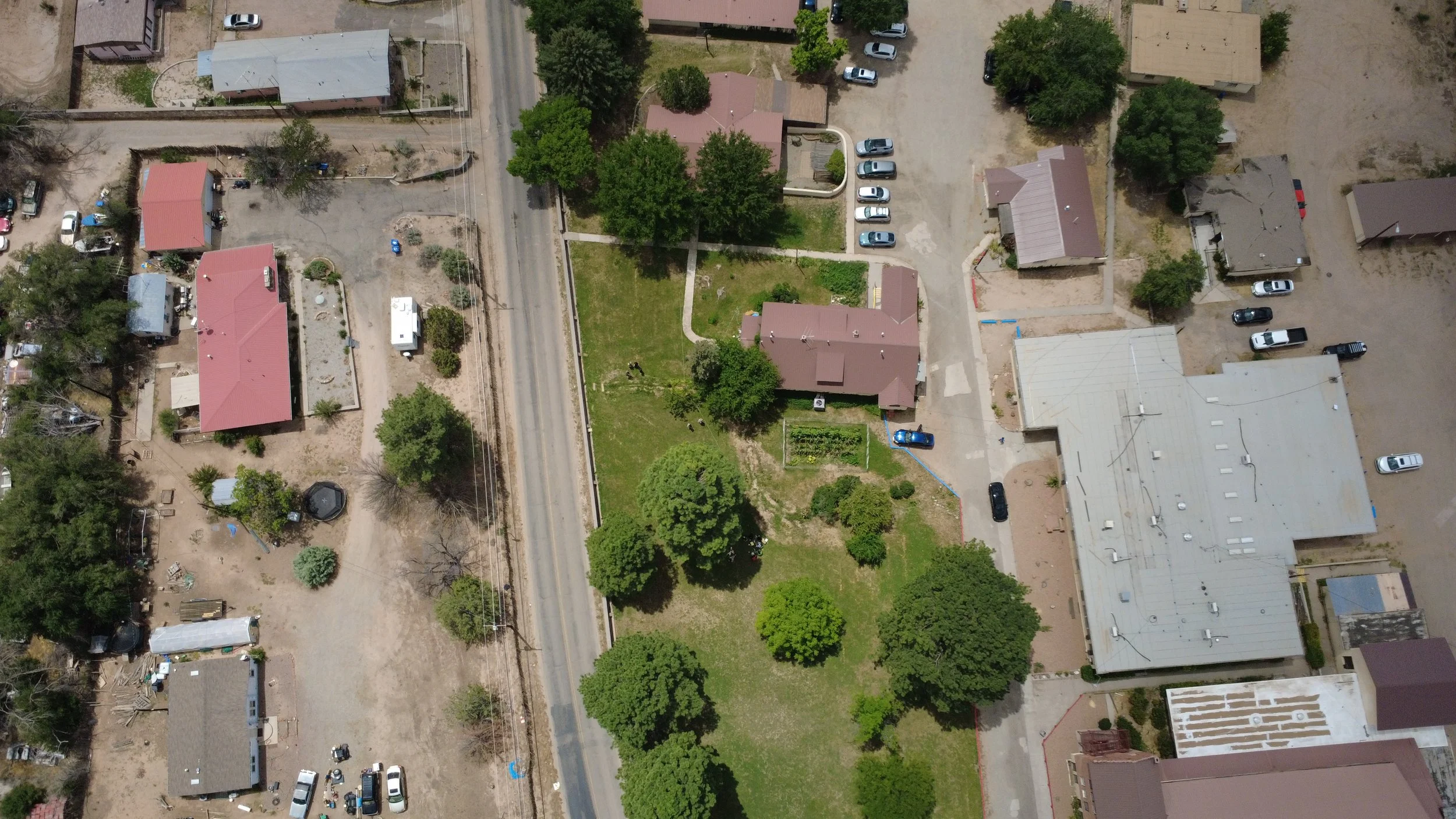
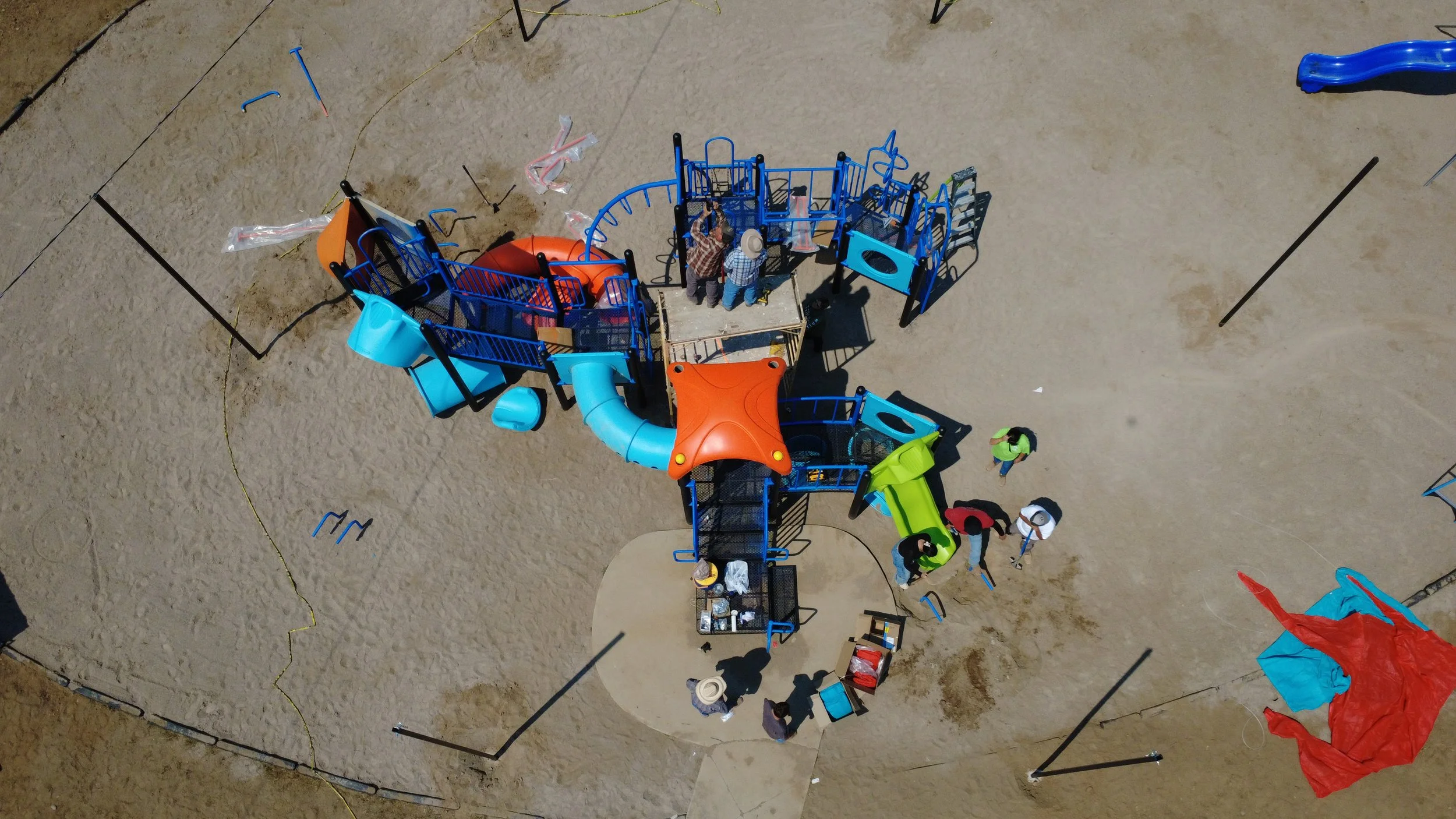
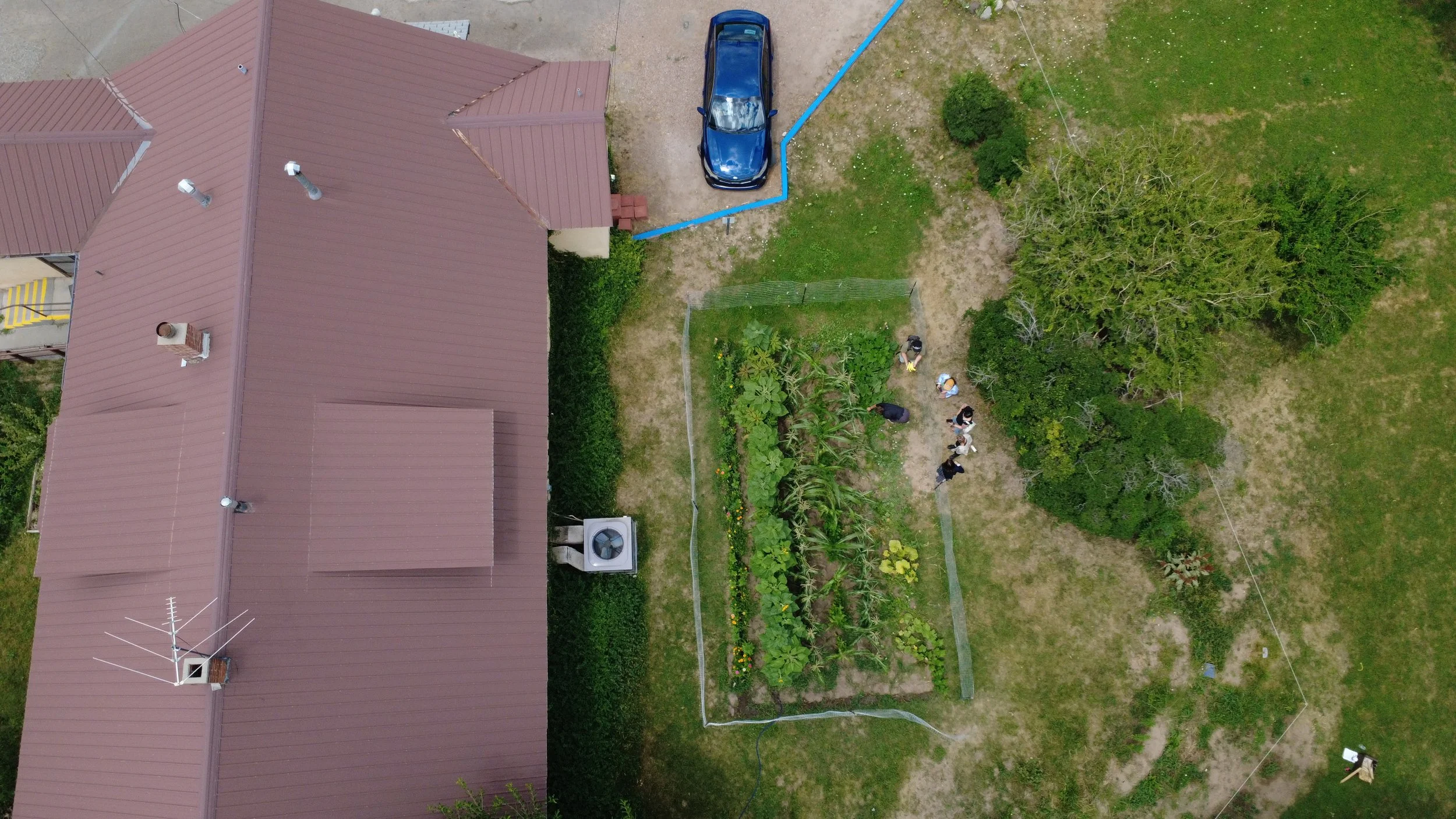
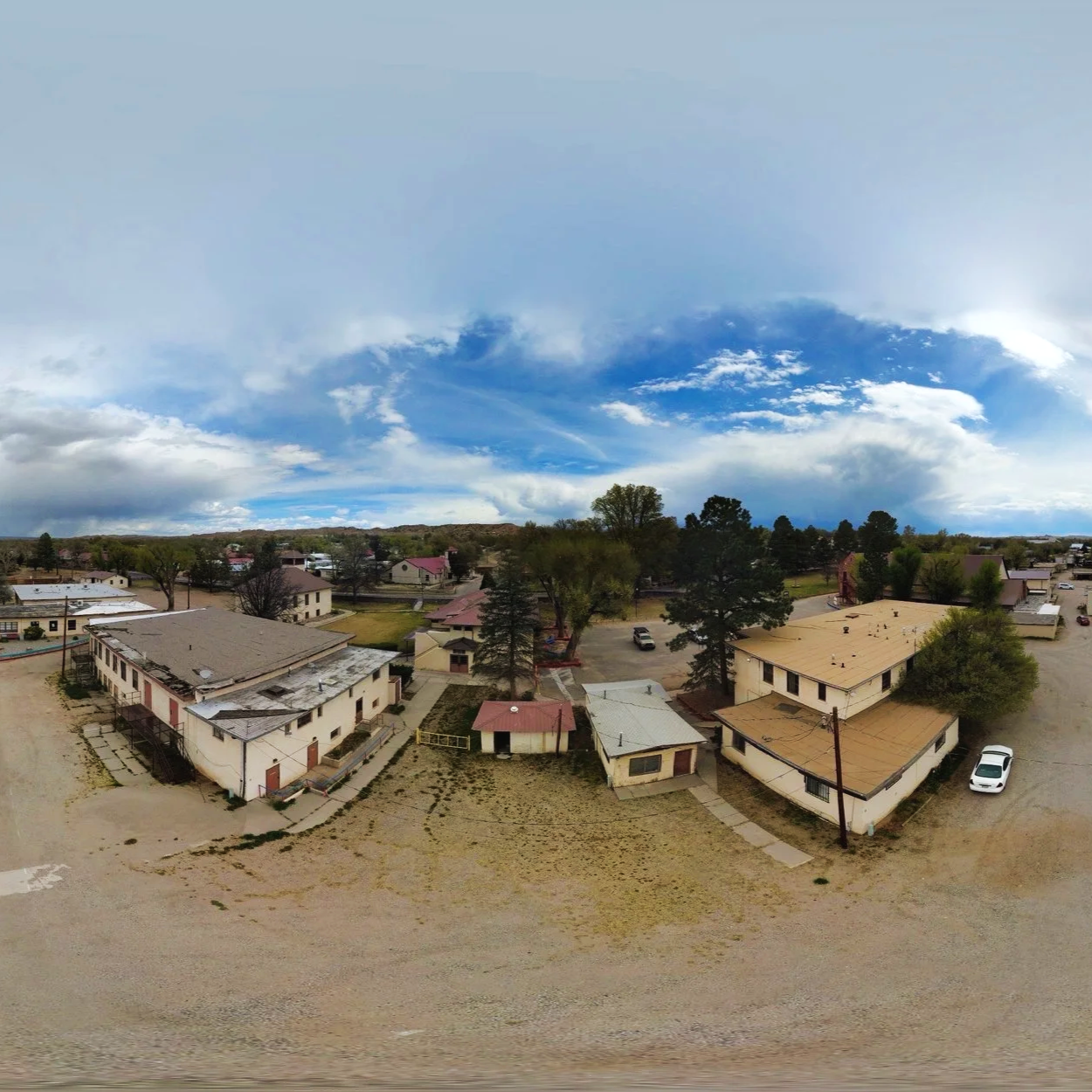
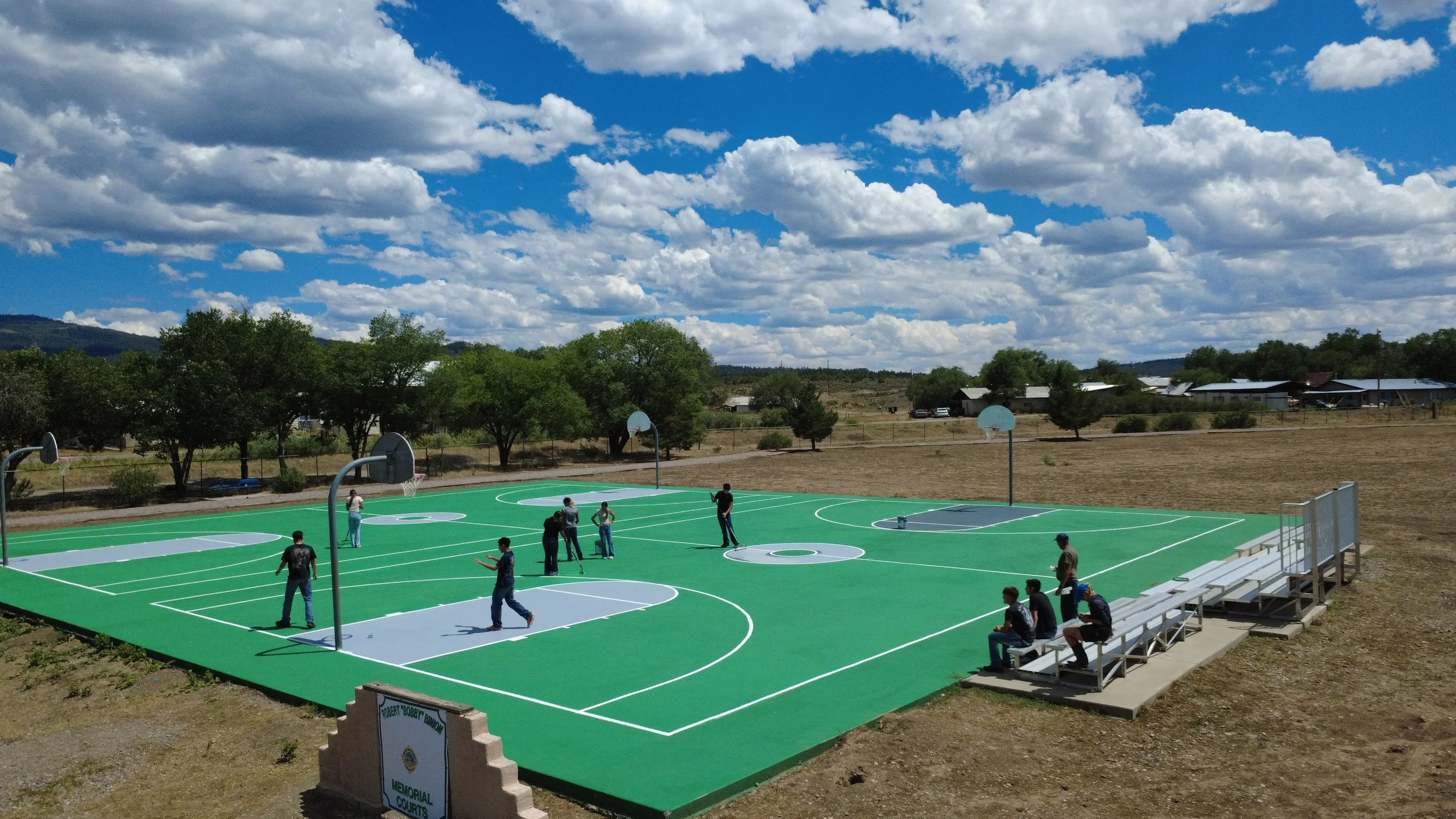
Drone Imagery
Drone imagery services support community projects by capturing high-resolution aerial photos and video to document site conditions, track progress, and enhance visualization for planning and public engagement. This approach provides a clear, on-the-ground perspective that strengthens presentations, grant materials, and design processes. All drone operations are conducted in compliance with Federal Aviation Administration regulations and are limited to approved flight areas, ensuring safe, legal, and responsible use.
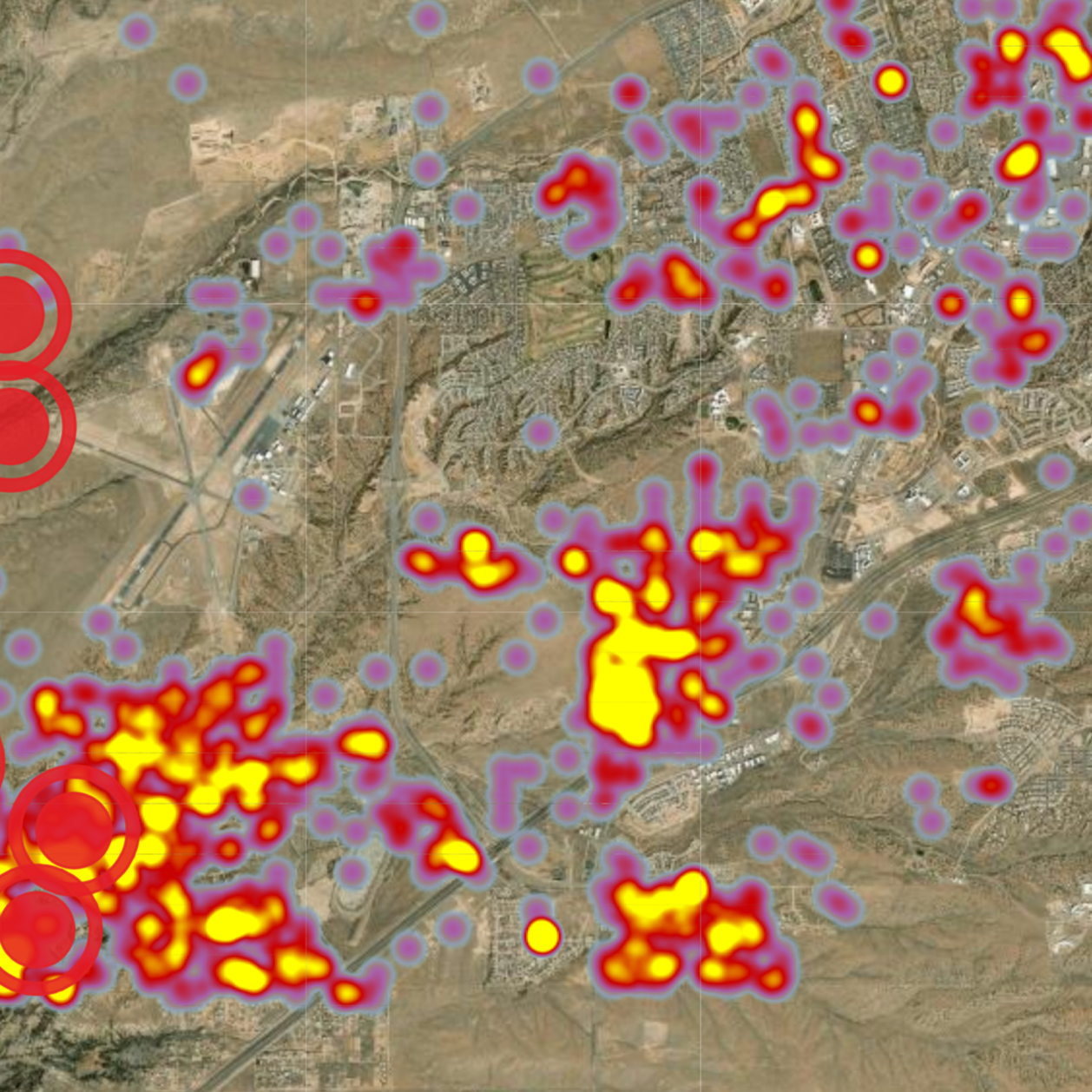
Data Visualization & Reporting
Data reporting and visualization services are grounded in program evaluation, translating complex data into clear insights that support decision-making and demonstrate impact. Work includes developing concise reports, dashboards, and GIS-based visualizations that communicate outcomes to stakeholders, funders, and communities.
Emphasis is placed on clarity, accuracy, and meaningful storytelling—turning evaluation metrics into accessible tools that strengthen programs, support funding, and guide future planning.
-
![]()
Tierra Amarilla Community Center
-
![]()
Northern Youth Project Demonstration Garden
-
![]()
McCurdy Ministries Campus
-
![]()
Rio Arriba County Recreation